Bald Hills Loop Trail
This 1.6 miles loop trail is located on part of the Northfield State Forest, and the white-blazed southern leg of the trail follows the New England National Scenic Trail (NET).
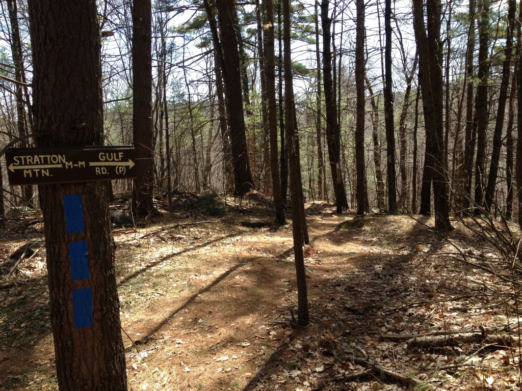
The Bald Hills Loop trail departs from the north side of Gulf Road at the parking area. Shortly the trail branches, with a blue-blazed trail going left from the white-blazed NET. Take the blue trail, which goes over the top of the bald hills.
As the trail descends it merges again with the white-blazed NET. Take a right at this junction and follow the white-blazed NET, with its gentle ups and downs, back to the starting point. Generally this trail stays in the highest regions of the bald hills, but there are not cleared viewpoints.

Directions to the Brush Mountain parking area
From the junction of Maple Street and Main Street in Northfield, go east on Maple Street about 3.2 miles (Maple Street becomes Gulf Road after 1.1 miles) to the kiosk at the top of the mountain on the right of Gulf Road.
The parking area serves the Town Forest, Brush Mountain Conservation Area, Bald Hills, and New England Trail.
History
These hills are part of a larger sacred landscape that was especially significant to Native Americans as the home of Hobomok (Hobomac), a giant spirit-being who slept under the hills and when called upon slew the giant beaver whose body became Wequamps (Mt. Sugarloaf). Hobomok’s presence under the mountain was indicated by his breath coming out of the ground, melting snow even in the dead of winter.
Downloadable/ Printable Trifold
