About King Philip’s Hill
This 10.5 acre parcel was acquired by the town of Northfield in 1974. The deed specifies that it be controlled by the Conservation Commission, “for the promotion and development of the natural resources and for the protection of the watershed resources… to be held solely for conservation and historic preservation purposes.”
The Hike
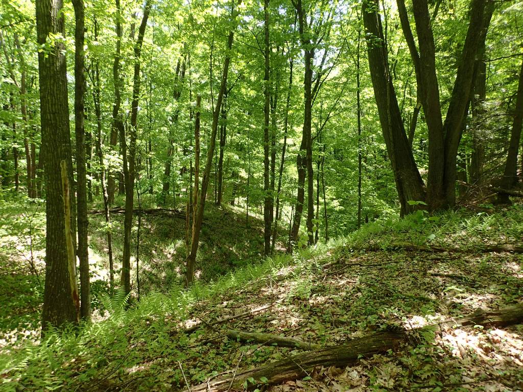
From the kiosk walk along the road toward the river; a marker shows where the trail turns left, and immediately you choose the loop walk or the riverbank walk. Going counterclockwise, the loop walk stays level for a short distance, then works its way up to the top of a gully; from there traverse around the edge of the gullies back to the beginning. The very end of the loop follows a steep esker down to the road. The riverbank walk immediately progresses gently upward to the top of the riverbank and proceeds to the left (north) for a short distance.

Directions to Trailhead
Take Route 10 south across the Connecticut River, then the first right onto Old Bernardston Access Rd, and right again onto Old Bernardston Rd. The parking area is immediately on the left. The trailhead is about 110 yards further.
History
Before European settlement in 1673, this land and the area surrounding Bennett’s Meadow were part of Native American settlements for centuries. Temple & Sheldon report evidence of large clay lined granaries, ‘workshops’ with stone chips “by the bushel” and aukooks, pestles, and household utensils, as well as burying places and signs of lodges.
During King Philip’s War, King Philip (born Metacom, son and successor of Massasoit, sachem of the Wampanoag) was in this area. For a few weeks from mid- February through March 8, 1676, he encamped upon the fortified bluff that now bears his name. King Philip’s presence in this area was also recorded in the famous captivity account of Mary Rowlandson. Following his time on this plateau, King Philip traveled a few miles up river to Cowan to meet with the Narragansetts.
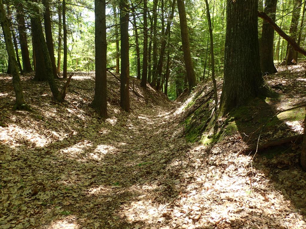
There are a series of trenches in evidence on the plateau which may have been dug during this time for defense.
Additional historical information can be found in: “А History of the Town of Northfield, Massachusetts, for 150 years, with an Account of the Prior Occupation of the Territory by the Squakheags: and with family Genealogies” by J. H. Temple and George Sheldon. 1875. Full Text
Use of Public Land
Everyone is welcome to walk this land and appreciate its rich historical significance, but please follow “Leave No Trace” principles. Metal detectors are not allowed. All stone structures in the town of Northfield are protected as cultural resources and should not be disturbed.
Downloadable/ Printable Trail Flier
